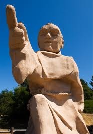
Google Maps hires Junipero Serra
@brentsleeper brings us the exciting news that Google Maps historic hiring program is in full swing!
http://twitter.com/brentsleeper/statuses/226046192734326784
Brought over from the ambitious but ultimately doomed Alta California Mission startup, Junipero is already at work on the FBP (freeway beatification program):

Junipero needs YOU to ride the El Camino Real:
Apparently, the California State Legislature went on a historical naming frenzy:
Section 635.
(b) State highway routes embracing portions of Routes 280, 82, 238, 101, 5, 72, 12, 37, 121, 87, 162, 185, 92, and 123 and connecting city streets and county roads thereto, and extending in a continuous route from Sonoma southerly to the international border and near the route historically known as El Camino Real shall be known and designated as “El Camino Real.”
A little aggressive for my historical liking, given how many actual El Camino Reals one finds as streets in California. Here’s one of the better maps I know of showing the road at connected the Presidio, Mission Dolores and Santa Clara in 1852 as it passed through what would be come San Francisco, via David Rumsey:

One of the more obvious modern echoes of this is San Jose Avenue in La Lengua, which is clearly shown in the 1859 Coast Survey map as “The Road to San Jose”:

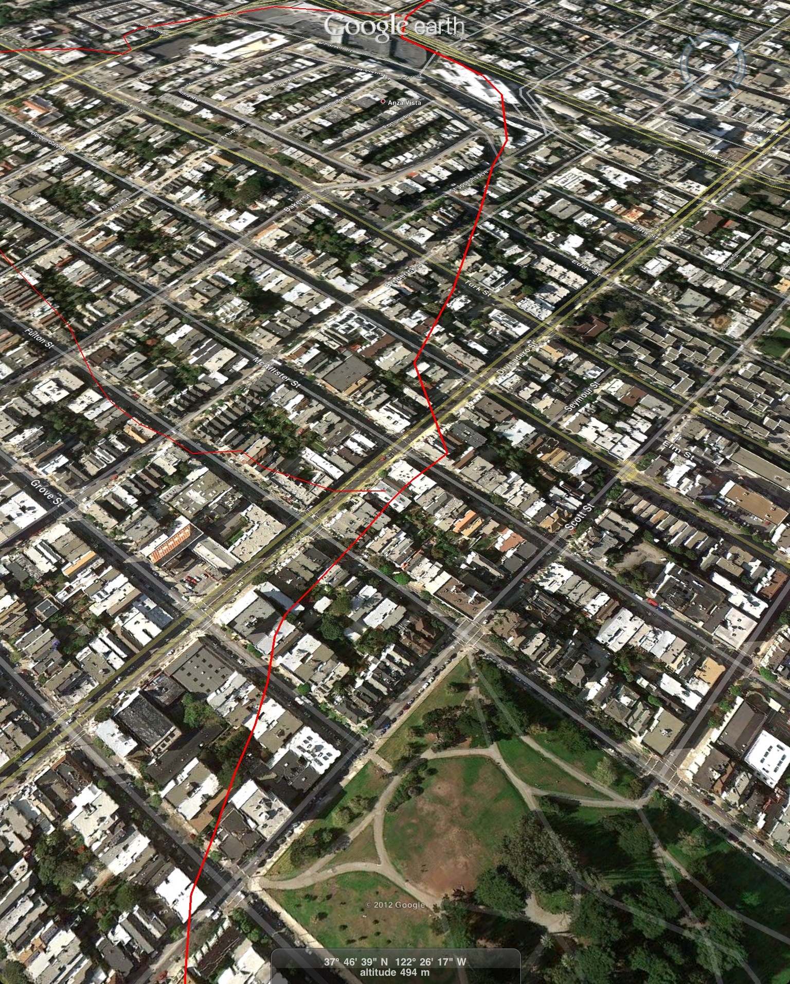
For the past few years, I’ve been noodling around with tracing the path from La Lengua to Mission Dolores, which is pretty straight forward. The path to the Presidio gets harder as the map stops at Geary, though I’ve made my best guess based on the wider-scale maps and topology:

KMZ file for your entertainment. Bonus material includes race courses other 1860s buildings which warrant their own posts.
A couple of interesting extracts:
The Road as it passes from San Jose to Dolores:

Through the Castro Safeway:

Across Lower Haight:

To the west of Alta Plaza Park:
And this concludes your briefing on 18th century road infrastructure.


Oddly, just this week while downtown on Market St around 3rd St there is an actual metal (as opposed to I create replacement due to theft) Mission Bell El Camino Real historical marker. What the what?
I don’t know if it will help, but the 1857 Coast Survey map does include the entire area between the Mission and the Presidio. I tried overlaying the 1850 map on top.
there is no Castro Safeway. It’s on market Street at Church. Try to get your head out of your neighborhood.
http://www.google.com/search?q=castro+safeway
Those folks in Seacliff must be sad Google has taken their modern-day street from them… :-)
The route through the lower Haight appears to be more or less the Wiggle http://www.flickr.com/photos/nodename/7635151134/in/photostream/
Yup, the Spanish were as
lazyefficient as cyclists.That’s a great map! Is it yours? Is there one for all of the city?
Google Maps uses historical names a lot. You’ll see many sections of I-80 shown as Lincoln Highway for example