Behold! The Panorama of Panoramas
Behold, a tiny panorama!
Wait, while tiny, it is extremely wide. What is it?
Could it be… the view of San Francisco from the Farallons? Click, if you dare, for a TWENTY-SIX THOUSAND PIXEL WIDE panorama.
Zoom and clarify! Golden Gate Bridge to Mt. Davidson.
Zoom and clarify! Downtown:
Pan left! Golden Gate Bridge:
Twinpeakify!
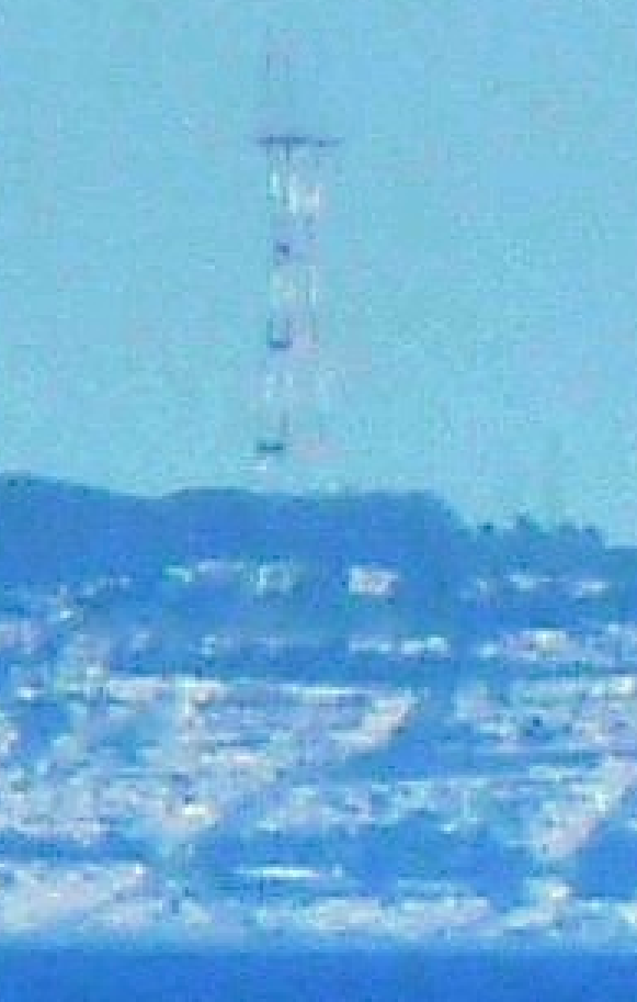
Sutrofication!
Once again, thanks to our agent on the Farallons, Sara Lee Chandler, Scientist Emeritus of the world-renowned BJIFPS (Burrito Justice Institute of Farallonic and Panoramic Sciences) who sent in follow-on photos to our original Farallonoramic effort.
I have not had time to go through and label this one, so I have decided to crowdsource — I have added a numbered index to this panorama, going from 1 (left) to 400 (right). Use this as a point of reference for discussions.
(A crop of downtown to Sutro is below so you know what in the hell I’m talking about. Use fractions if it suits you.)
UPDATE:
@bradvertising figured out how to map one degree SF-Farallon wedge:
We’ve labeled these map wedges onto the original pano. N1, N2 are north of the Farallon “equator”, and S1, S2 are south. (Feel free to reference “Sector N12, 204” if such granularity suits you.)
We go all the way from N39 to S19! 58 degrees or Farallonization! Bolinas Bay to Pedro Point!


So can anyone figure out the edges of the photo? I want to make one of those pie wedge POV maps but I am all out of geometry today.
I think that the northern edge is just north of Stinson Beach. I think that’s it right there in number 30-46, just below the peak of Mt. Tam. By the way, check out the barracks on Rodeo beach at numbers 149-150!
You can see the Campanille if you look just south of the north GG bridge tower, and squint.
Also, interesting to see how the Sunset rises up toward Twin Peaks from this perspective, instead of looking like a big flat plain.
I took a map cobbled from Google Maps screenshots, put a 360-degree radial grid onto it, centered on the Farallons. After marking the degree points where the radiating lines intersect identifiable landmarks, I was able to arrange corresponding lines onto your numbered panorama. Here are my calculations, with the obvious landmarks included:
1 – Somewhere just south of Bolinas
36 – Mount Tamalpais
113 – Muir Beach
120-121 Pirate’s Cove
137 – Tennessee Cove
149-150 – Barracks near Rodeo Lagoon (as mentioned by Ariel)
153 – Rodeo Cove
168 – North edge of Golden Gate
183 – South edge of Golden Gate
211 – North edge of Golden Gate Park
218 – South edge of Golden Gate Park
231 – Mount Sutro
245 – Mount Davidson
349 – North edge of Pacifica
400 – Somewhere near Grey Whale Cove State Beach
I can send my files.
Cheers. Keep up the good work!
Brad
@bradvertising
Awesome, thanks — I’ll start adding those to the numbered image as I get more entries.
Update — thanks to @bradvertising, we have a one degree wedge map and pano overlay! Added it to the end of the article.
I believe the prominent peak at the far right of the image is Montara Mountain, not Mt Davidson (which is the second and higher of the symmetrical treed lumps right of the Sutro Tower). Regardless it’s a unique and awesome perspective of the city!