Bernal Bernal Everywhere
October 23, 2009
Updates to the El Rio Mission/Valencia history post — UC Berkeley has the 1857 map for the Bernal land claim settlement – the tract is enormous, click to see the entire thing. But here we zoom to “Widow Carmen Bernal’s House”. (J.C. Bernal died in 1842, and the family spent five years in US courts securing the land grant after California was admitted to the U.S.)

The Bernal house was on the north side of what would become Duncan, under what is now the SE corner of the St. Luke’s parkade. Here’s a snippet of the land grant map I loaded into Google Earth:

Click image to zoom, or see the entire map on Calisphere.
Note this matches up perfectly with the 1859 US Coast Survey map. (The red rectangle is El Rio.)

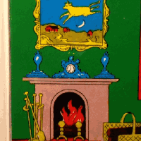
Plus they got this fine seal:

7 Comments
leave one →
Trackbacks
- Let’s Take A Drive Down Serpentine Ave « Burrito Justice
- “The Mission Has Always Been The Home of Baseball” « Burrito Justice
- “The Mission Has Always Been The Home of Baseball” « Burrito Justice
- That Odd Bend in Precita Avenue, Explained | Bernalwood
- Supervisor David Campos Annexes Precita Park, Cedes It to Mission District Merchants and Power-Brokers | Bernalwood


U might findmthis link interesting. Another stadium that happens to be a Lowes store now
Thanks! That’s really nicely done. Would be fun to have a statue!