Chromogeography
January 6, 2011
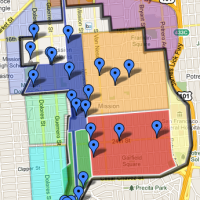
Behold Data Pointed‘s VISUALIZATIONATOR:

Place names are turned into color: blue is water, green is land, red is manmade.
The West Coast is much prettier than the East Coast or Europe (except for the leaves in fall, I will grant you that).
Colors are stacked additively, so cities appear yellow. Bigger maps on the lovely Data Pointed emergent visualization portal.
Added bonus: Data Pointed is now on Twitter.
No comments yet