Geotaggers World Atlas, Continued
Eric Fischer maps 30 more cities!
As for the order:
The maps are ordered by the number of pictures taken in the central cluster of each one. This is a little unfair to aggressively polycentric cities like Tokyo and Los Angeles, which probably get lower placement than they really deserve because there are gaps where no one took any pictures. The central cluster of each map is not necessarily in the center of each image, because the image bounds are chosen to include as many geotagged locations as possible near the central cluster. All the maps are to the same scale, chosen to be just large enough for the central New York cluster to fit.
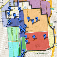
Here are a few I found interesting. See if you can guess what they are (hover-over to see the name). Go to Eric’s Atlas to see the rest.