SF Parallax

Blue & Green Yellow & Brown
not the worst temporal loop

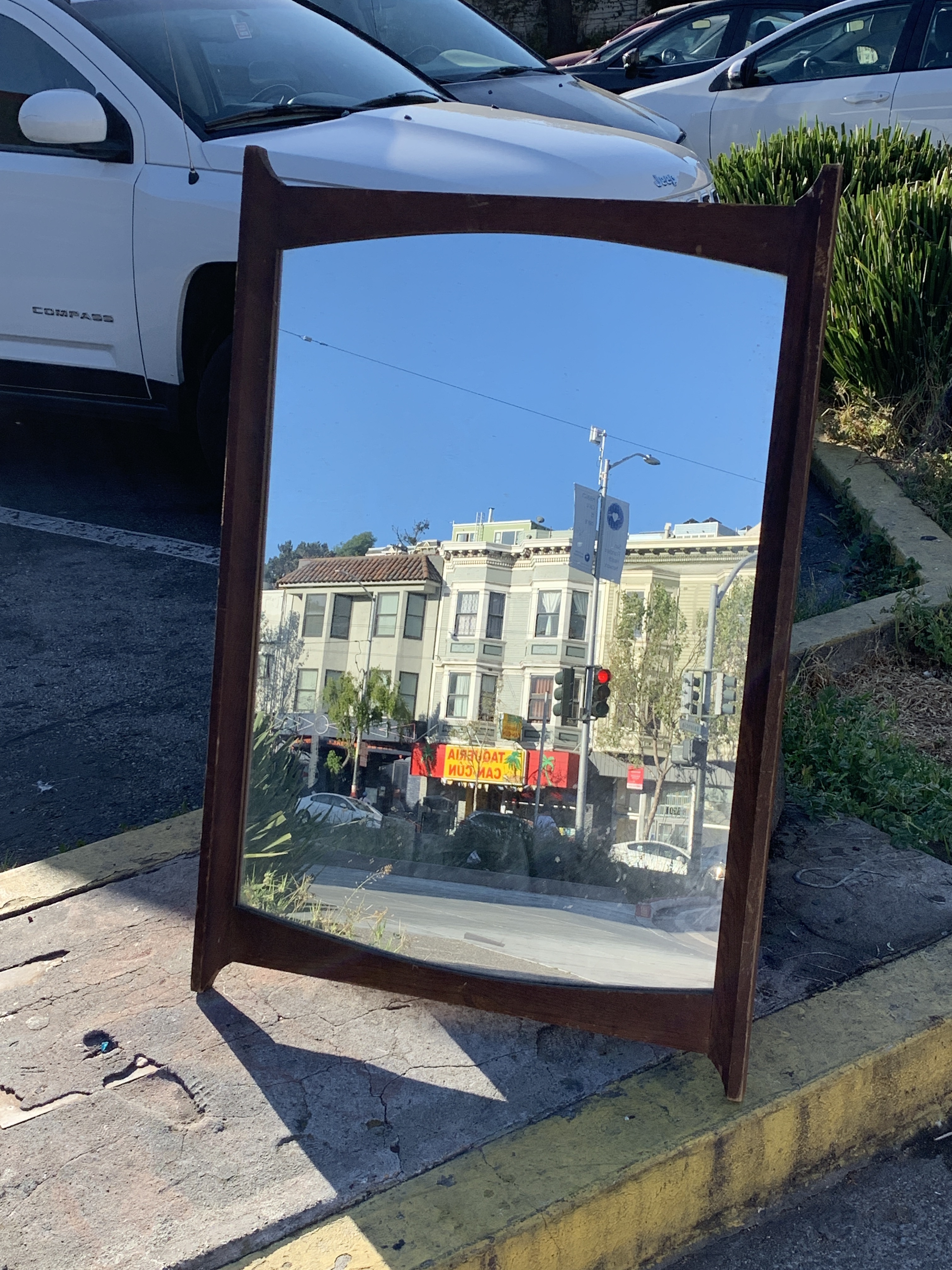
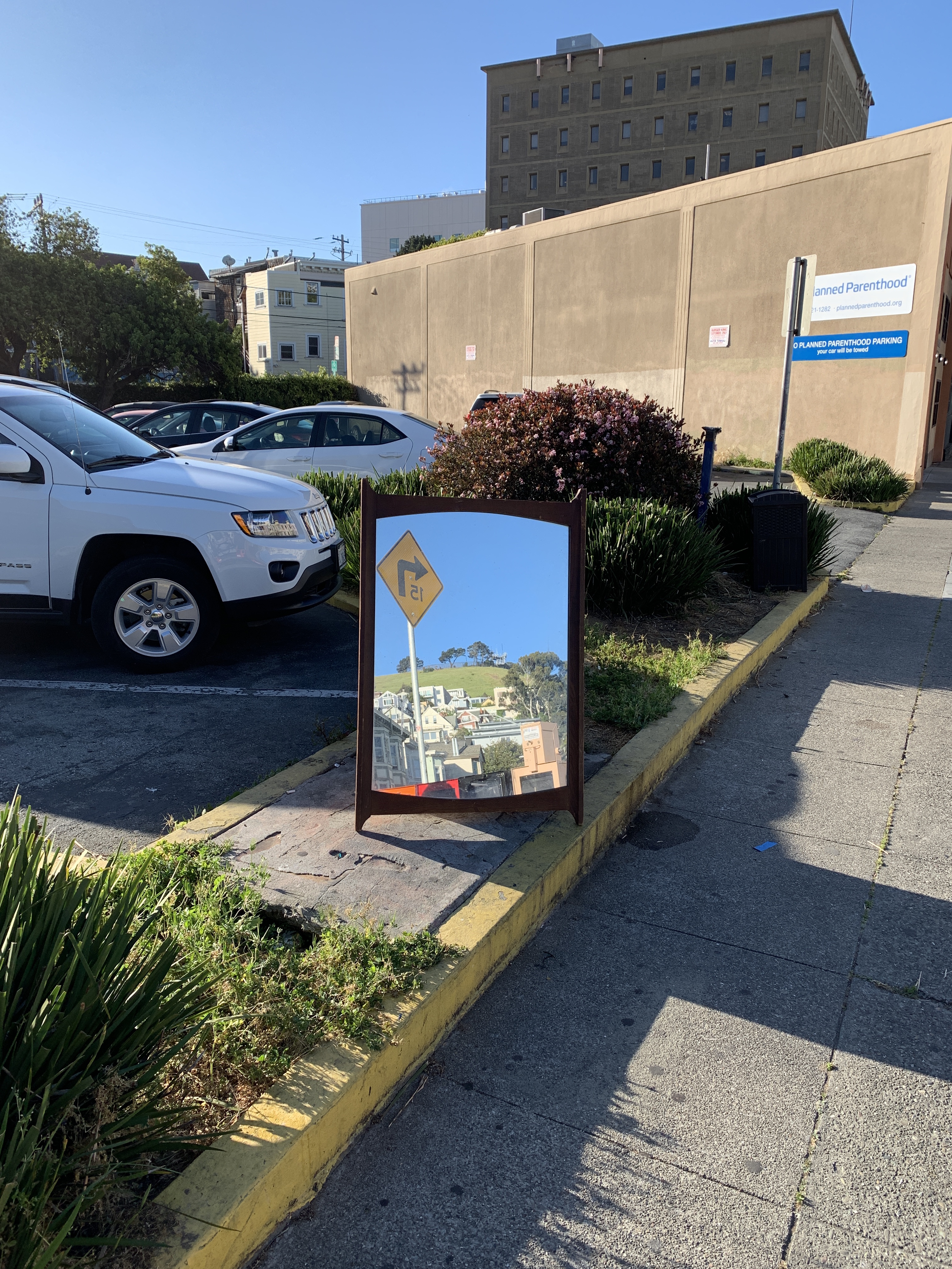
Objects in Mirror Are Larger Than They Appear

Cloud City
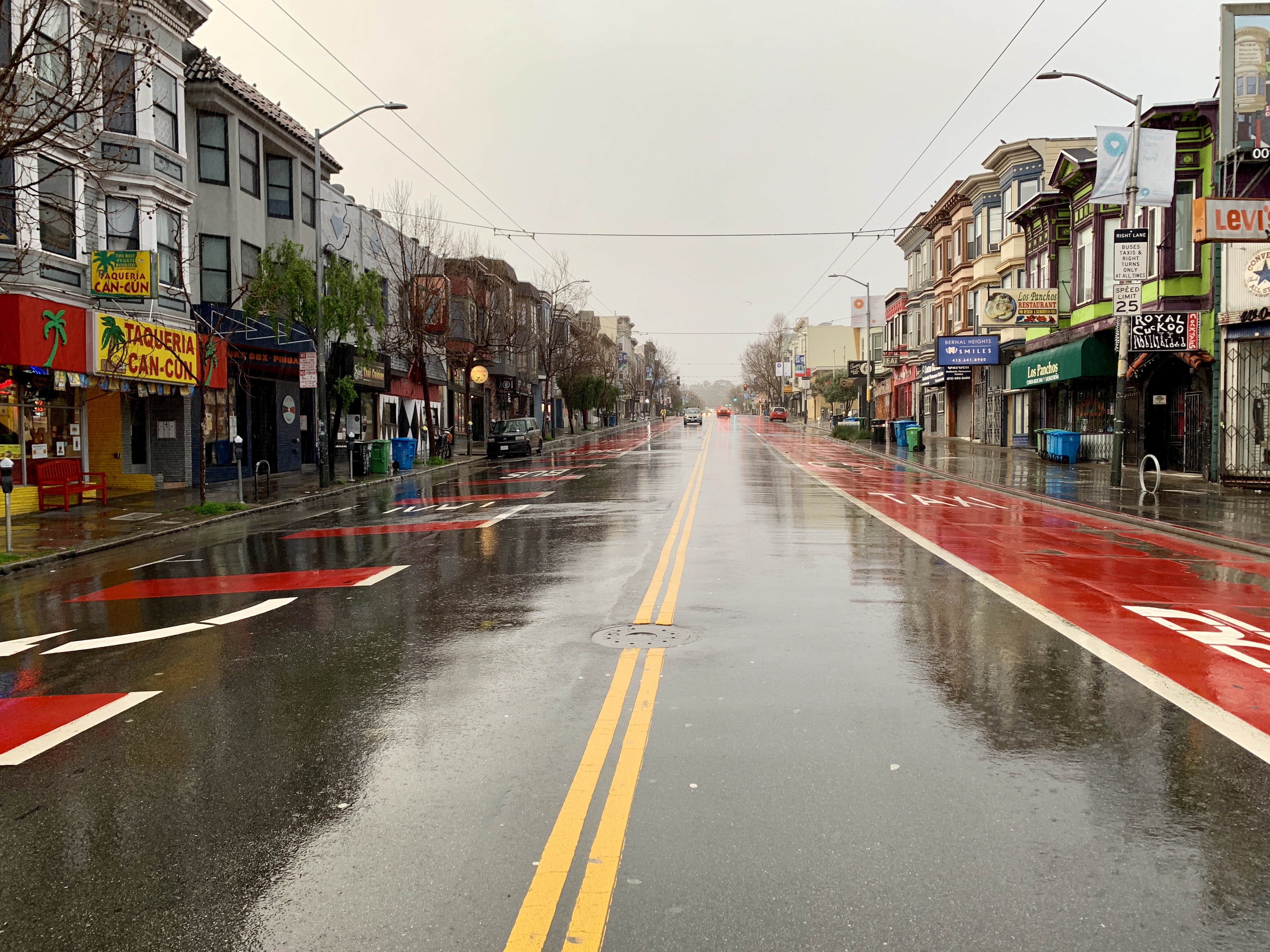
Rain
SF GIF 1948a
Hello! I am writing a blog post on historical stuff. It has been a while. Welcome back.
So our friend David Rumsey helped out our friends Outsidelands and @davidgallagher to scan and publish the 1948 aerial photos of SF taken by Harrison Ryker, who I am pretty sure would be our friend. (He also took aerial photos of SF in 1938 which we wrote about a few centuries ago.)
Harrison learned a few things since 1938 and the overlap between the 1948 photos is much more generous — sometimes you can get the same site in three different images. Anyway, not to bury the lede, but I made a GIF (which I know will SHOCK longtime readers). And it involves baseball which I know will shock longtime readers. And it involves Seals Stadium which I know will shock longtime readers.
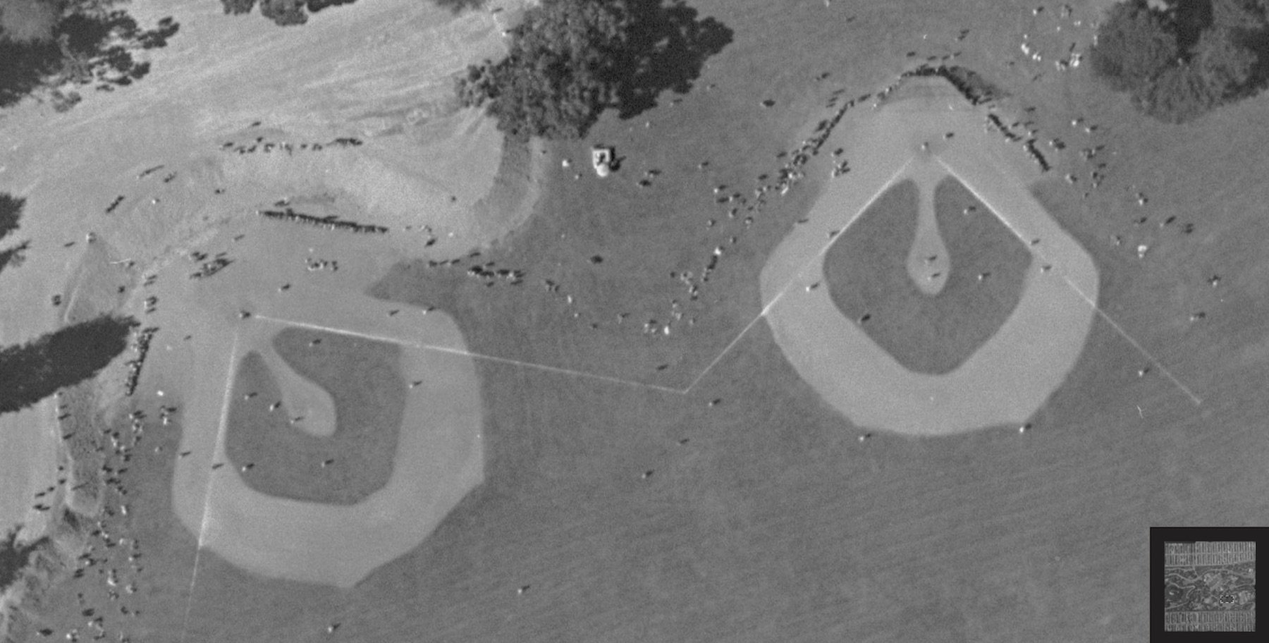
So here is a GIF of a game being played at Seals Stadium on July 25, 1948. You can see players on the field, and we’re lucky enough to get one, two, three frames, and if you stitch them together, you actually get a brief vignette of the game:
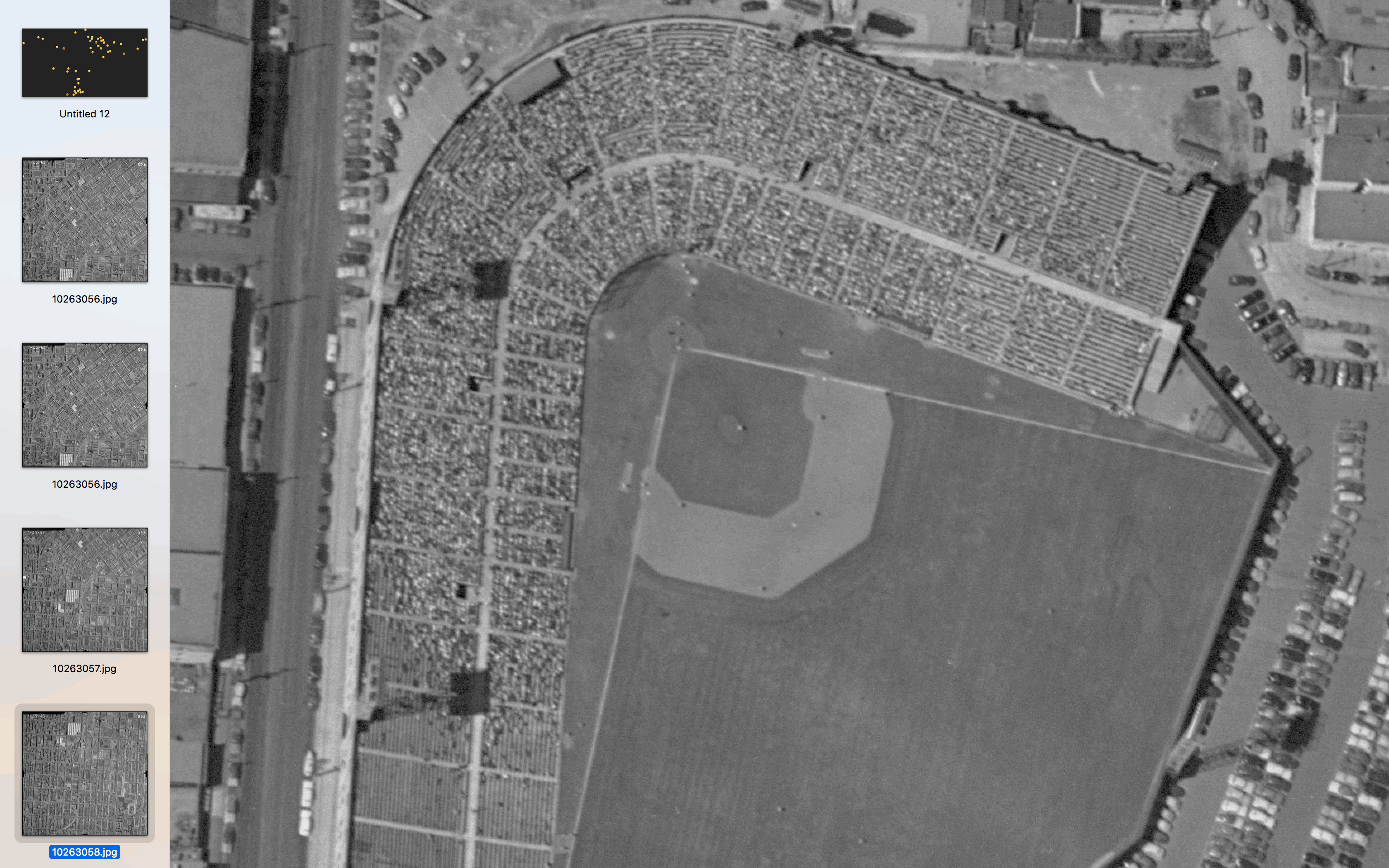
Harrison was flying south to north on this particular pass of SF (which in this particular case is the opposite of how the images are numbered — I confirmed this with the position of streetcars to figure that out, but I digress). You can see fans and players on the field, and the perspective of the stands and lights is pretty trippy.
ZOOM AND ENHANCE:
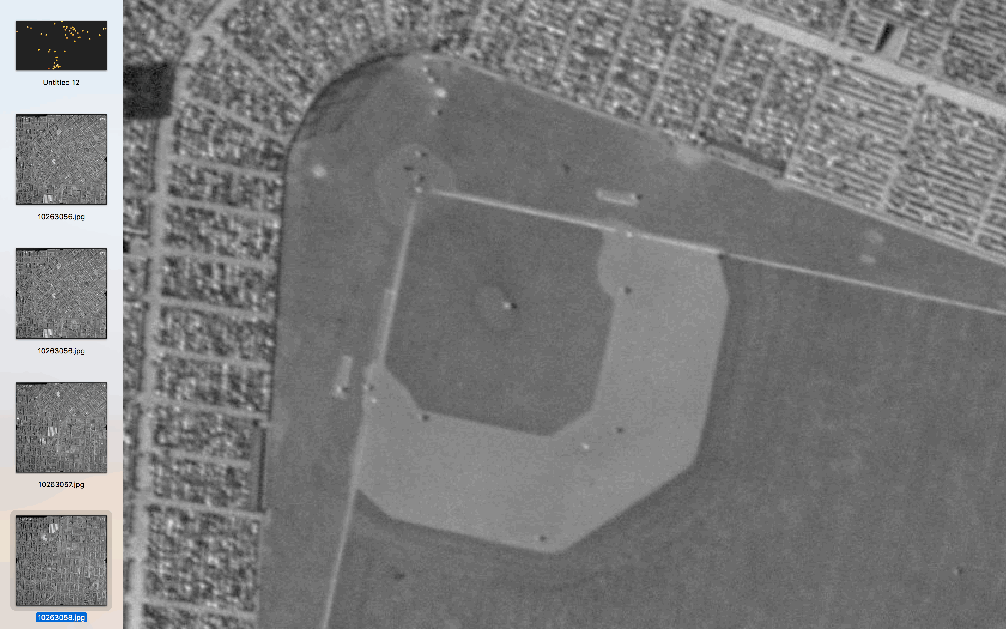
I don’t quite know how much time passed between each photo, but it wasn’t much and you can see the first and third basemen approaching the pitcher to have an important meeting. Given his position at the plate, the batter seems to be left-handed.
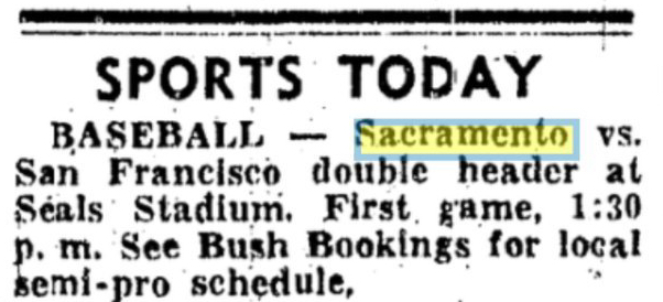
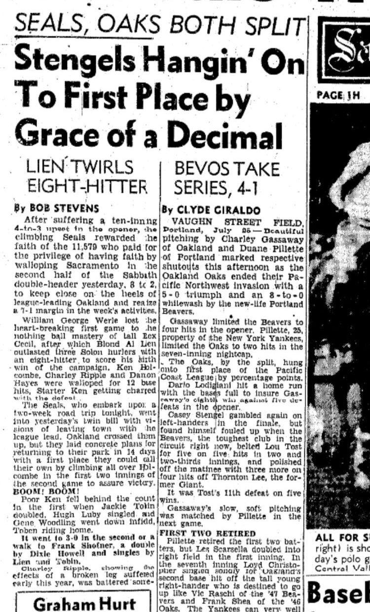
This photo was taken on Sunday, July 25, 1948, and using the power of the SFPL and the magic that your library card gives you over historical archives, we learn that the Seals were playing the Solons of Sacramento that day, in a double header.
Who won? Well, it turns out the Seals and the Solons split the double header.
But which game of the double header do we see in the photo? Well, using the power of math, and more specifically the TPE iPhone app, we can determine that given the angle of the shadow of the lights at Seals Stadium.
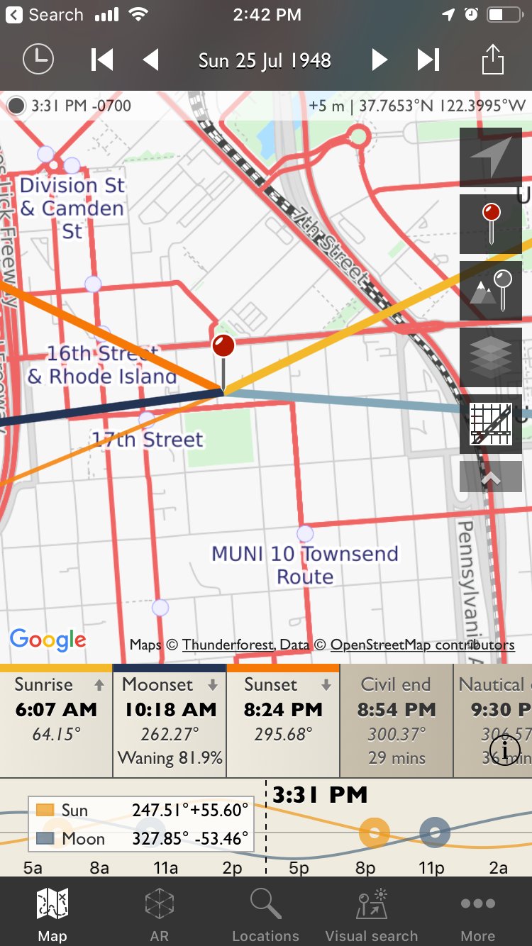
The thick yellow line is the direction of sunrise for July 25, 1948, and the thick orange line is the direction of sunset. The thin orange line is the direction of the sun at 3:30 PM.
As the GIF confirms, Seals Stadium had lights, so it’s possible that the second game was at night. Gary tells us that
“We turn NIGHT INTO DAY,” ads proclaimed — allowed night games to be played in San Francisco for the first time”
But even if the game were right after the first, I don’t see how the first game could have been over and the second game started by 3:30 if the first game had started at 1:30. So pretty sure we’re looking at the last few innings of the first game (which the Seals won).
I’ve been trying to figure out which team is at bat, but there’s not much to go on. The only evidence I have is that the batter’s uniform seems brighter than the players of the infield. The Solon’s away uniform in that era was grey, and the Seals’ home uniform was white, so it’s possible that the Seals were at bat?
If so, you could take at look at the Seals’ roster and narrow down the batter by looking at those who hit left-handed.
| 2 | Joe Brovia | .322 |
| 17 | Cliff Melton | .171 |
| 22 | Mickey Rocco | .300 |
| 23 | Strick Shofner | .264 |
| 24 | Dewey Soriano | .150 |
| 25 | Sal Taormina | .000 |
| 26 | Jackie Tobin | .301 |
| 28 | Bill Werle | .233 |
| 29 | Gene Woodling | .385 |
Anyway sorry to ruin your day but I don’t know what player it was, but feel free to dig for the game report, and if you can find the play by play of this game, let me know.
There are lots of other fascinating things in this set of aerial images, including another baseball game! In Golden Gate Park.
Also, you can see that the giant 20′ berm through Noe Valley for the Southern Pacific Railroad had been cleared, and that people were starting to build houses on it. That must have been quite the real estate spectacle. Oh, and you can see aircraft carriers under the Burrito Railgun.
Anyway, I’ll add more to this if I figure anything out, but go peruse the 1948 aerial photos as well as the 1938 set for your own personal time machine.
Boots to Books walking tour of literary North Beach is here!
Not up to the challenge of a seven-mile ride, or just looking for a new activity? Check out the latest iteration of Bikes to Books: a one-mile walking tour and minizine of literary North Beach. Boots to Books covers some familiar terrain from the Bikes to Books tour, plus new territory and authors, including a foray into Chinatown. For adventurous fans of literature, local history, and Flânerie.
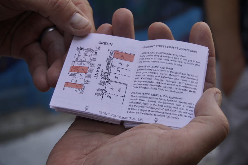
Includes a secret fold-out map! shhhhhhhhh
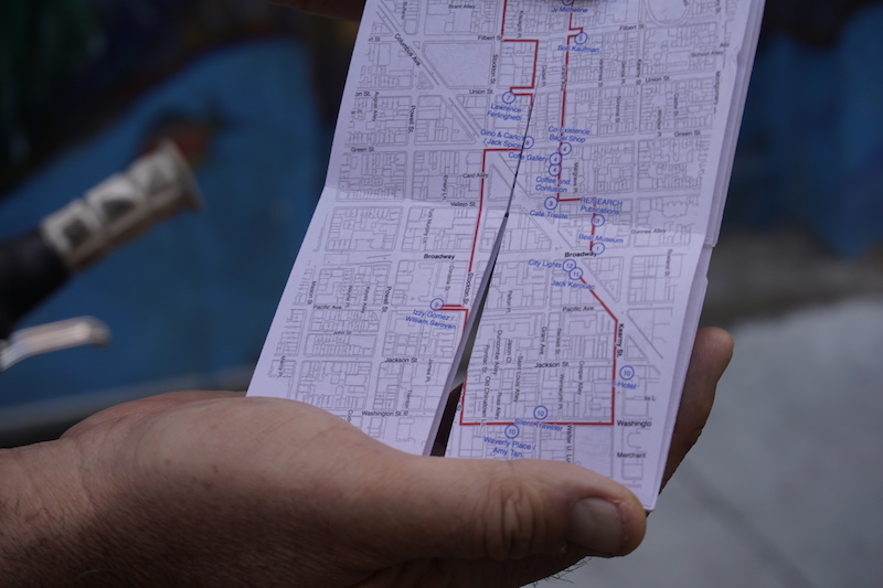
For the DIY inclined, we’re posting the pdf and folding instructions for the minizine, printable on a single 8.5” x 11” sheet of paper, or you can pick up one already cut and folded for $3 at:
- City Lights Bookstore
- Needles and Pens
- Other Avenues Food Store
- Dog Eared Books
Watch for an opportunity this spring to take the walking tour with us, or seek us out at the #geobeers meetup on Thursday, January 3, at 6PM at Elixir on 16th & Guerrero, where we’ll bring a stack to fold and share.
Let us know if you fold one up by pinging @burritojustice and @enkohl, hashtag #BikesToBooks and #BootsToBooks
Quick folding advice:
- fold in half horizontally, then in quarters (edge to middle).
- if you fold both forward and backwards, it makes it easier to cut later
- fold in half vertically, then in quarters
- cut along the three dotted lines (look for the scissors *don’t go too far, just three squares in)
- find the front cover, and then it should fold into place
And of course, a GIF:

Sutrito from Cortland
Bonview to Banks

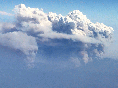
Pyrocumulus
Carr Fire, outside Redding, CA. Friday, July 28, 3:30 PM
[GIF, wait for it]